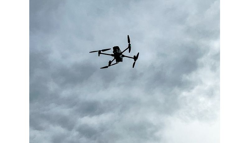
Together with the Upper Austrian Fire Brigade Association (Oö. LFV), the JKU tested a new drone technology.

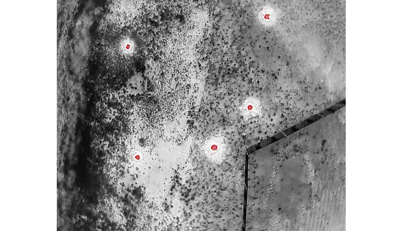
The objective is to not only detect wildfires early, but also to detect any concealed high intensity or low-intensity fires quickly. Hidden beneath the forest canopy, smoldering wildfires can often be easily overlooked. Technology developed at the JKU's Institute of Computer Graphics (head: Prof. Oliver Bimber) is helping. Institute drones can detect just what is happening beneath the leafy canopy.
Prof. Bimber remarked: “Current state-of-the-art technology relies on capturing image data at different wavelengths to support application-specific measurements. Present-day satellite, aircraft and drone remote sensing technology relies on this.” The JKU technology is different. AOS (Airborne Optical Sectioning), the scanning-method technology developed at the JKU in 2018, combines a number of individual images and calculates the occlusion in real-time to reveal objects that would otherwise be concealed under dense vegetation. AOS has demonstrated its enormous potential in searches for missing people, observing wildlife, detecting forest fires, and in archaeology. Thanks to AI, AOS can even detect moving objects in an unprecedented degree of quality.
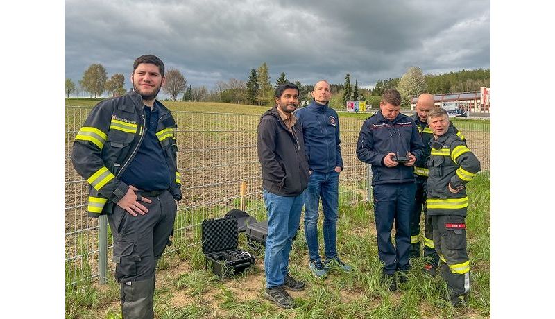
The Upper Austrian Fire Brigade Association (Oö. LFV) has tested the system. A JKU team assisted the Freistadt fire department in detecting a test forest fire. The partnership is to continue by testing the technology against actual forest fires, thereby generating training data for the AI and putting the process to the test. The team will accompany firefighters to real forest fires and record the data on site.
Once the project is successfully completed, the software could be used in Oö. LFV-operated drones, or possibly throughout Austria.
 Go to JKU Homepage


